The shift from mapping to monitoring comes down to the frequency of tasking satellite imagery.
Gathering Earth Observation data is a tactic used across industries to help solve some of the world’s biggest problems. From predicting crop yields in agriculture to monitoring oil pipelines, the use cases for satellite imagery are limitless.
Mapping is certainly a common application for satellite data. Building maps are essentially the ability to analyze and display geographically referenced information. Nevertheless, it’s no secret that the general public heavily uses maps.
GPS applications like Google Maps or Waze have come far in the last few decades, but the limitation of traditional maps is that the data stays stagnant. It’s excellent for understanding a snapshot of a particular area in a moment in time, but more can be done with satellite data.
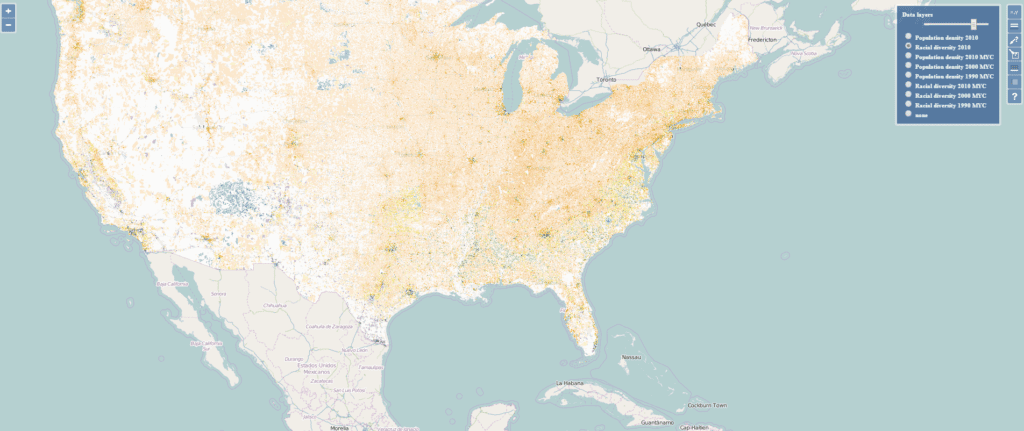
Monitoring, on the other hand, is not stagnant like a map. Instead, monitoring is the process that introduces a timely data capture in fewer square kilometers and can measure patterns or detect changes.
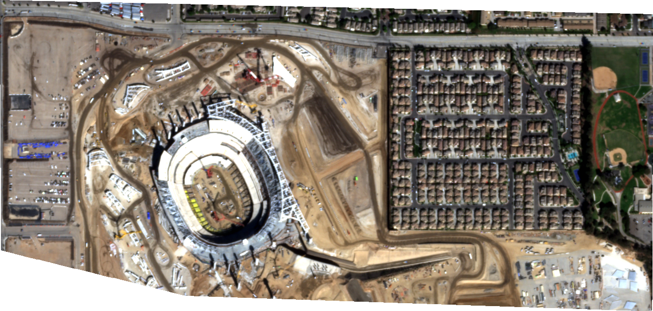
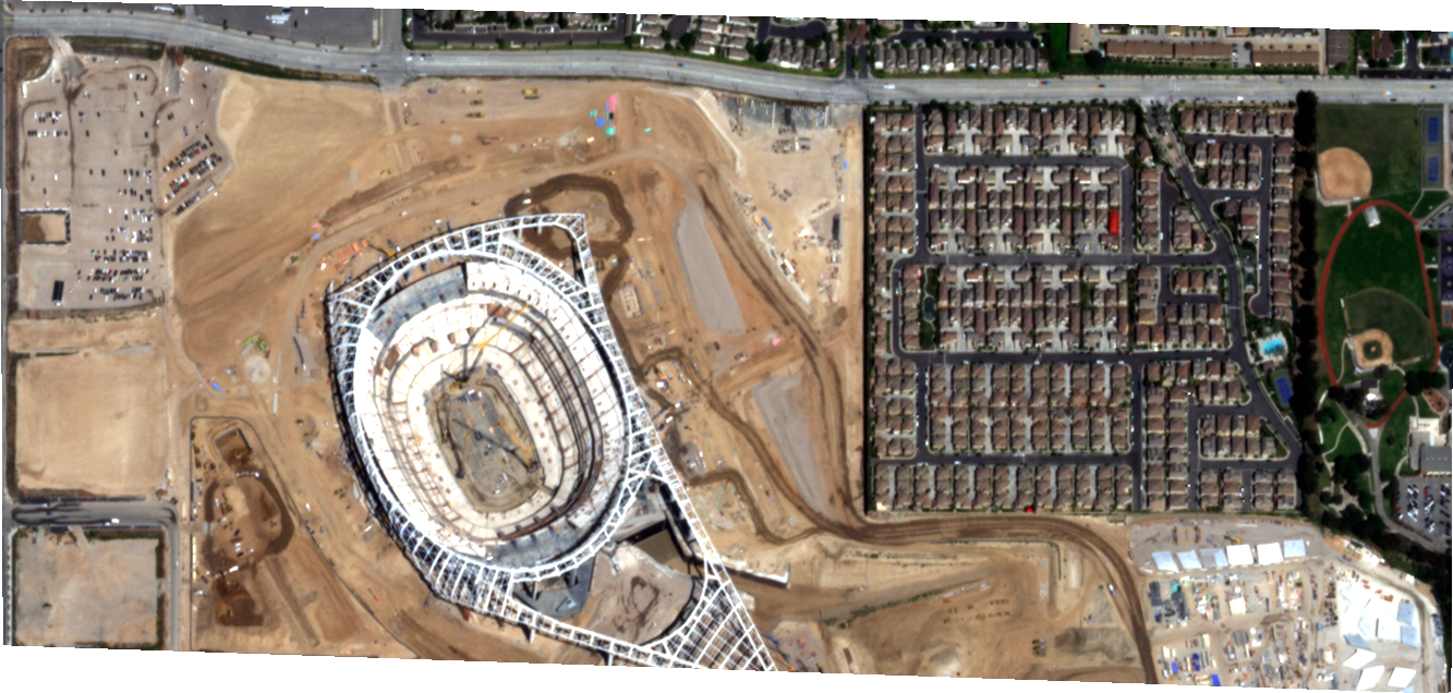
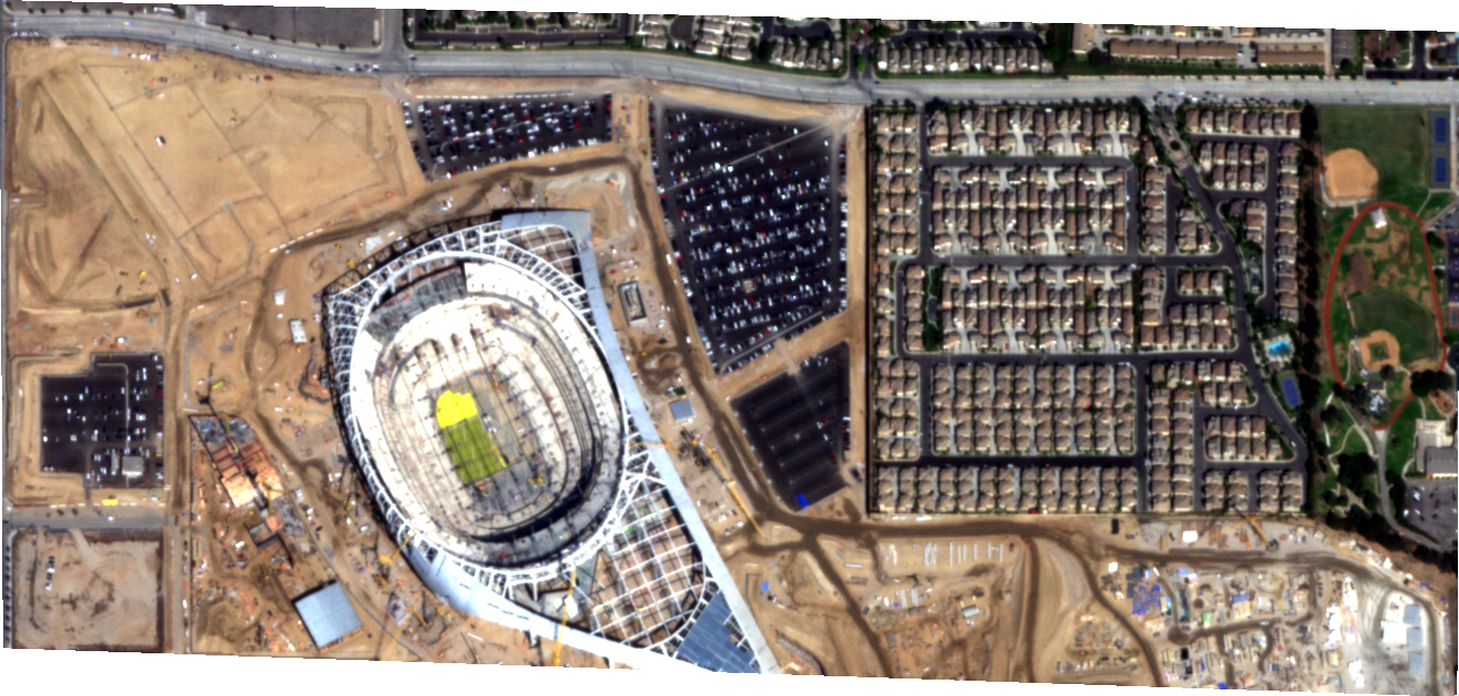
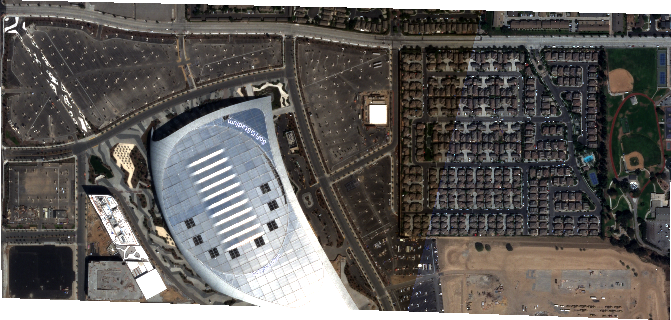
The value of capturing timely data is to answer big questions.
Questions like “is the eroding coastal line putting our real estate investments at risk of damage?”, “Is this oil pipeline being well maintained?”, “are the bark beetle infestations migrating to our region?” etc.
The ability to identify locations with imagery is important work, but through the act of monitoring, there are big opportunities to solve real problems in your business or industry.
Let’s explore these opportunities and talk about the shift from mapping to monitoring in more detail.
Why The Shift From Mapping To Monitoring?
In mapping, there are specific requirements to collect data. The minimum image swath width for general mapping is approximately 100 sq/km. When GIS specialists collect data for mapping, they often fuse different data sets to capture the whole picture, such as aerial, drone, and satellite imagery.
Moreover, when developing a map, the coverage aspect is more important than temporal data. Temporal data is what captures significant detail that can help recognize a change.
With monitoring, you get more information in a smaller surface area. It pulls together temporal data to detect location changes via tasking images weekly. When building a map, you only need to task imagery once every 1-3 years to stay relevant.
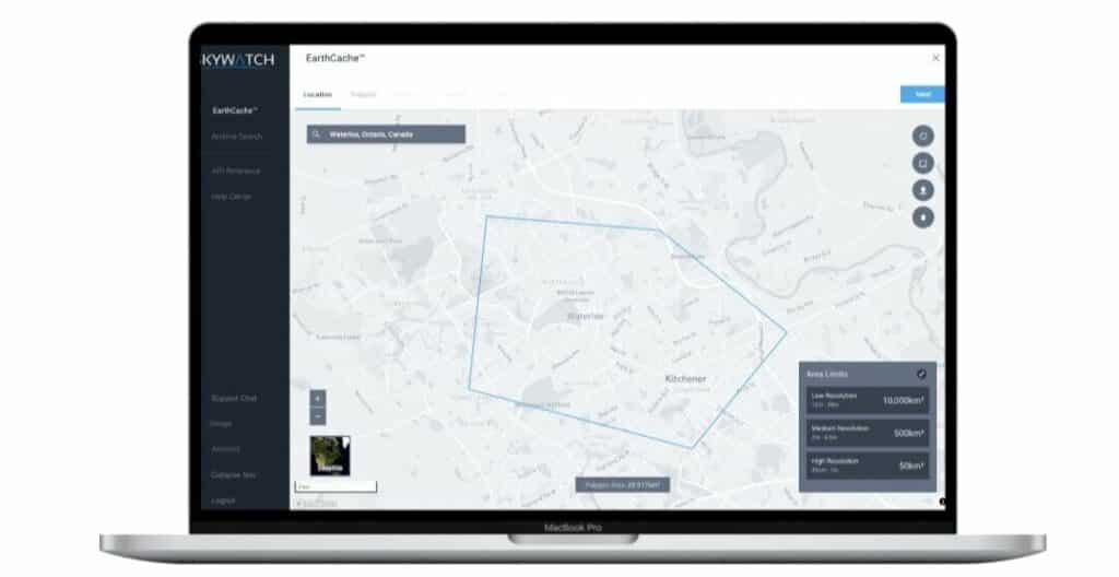
On the other hand, monitoring is built for frequent tasking (monthly, weekly, or daily). Without frequency, however, discovering patterns or trends becomes difficult for the end-user. Like any type of research, predictions can only be made with a representative sample size over long periods.
How will monitoring solve problems?
Common satellite detective types in monitoring include change detection, event detection, object detection, or object clarification.
These use types measure different qualities.
Change detection: is a technique for determining how a particular area has changed over two or more periods.
Event detection: is analyzing event streams to find sets of events that match event sequences in an event context.
Object detection: identifying the number of objects in an image
Object clarification: being able to determine what kind of objects were found in the AOI
In other words, each Use Case is unique and can use various detective types in tasking imagery.
Let’s demonstrate this in an example.
Here are different ways to monitor cows in a field.
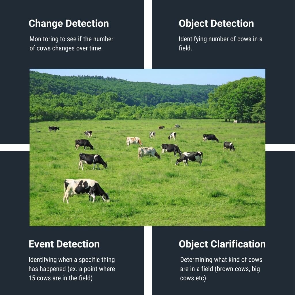
Monitoring Use Case Examples
As listed above, an AOI is the area of interest you want an image to cover. There are three ways to select your AOI when tasking satellite imagery on the EarthCache platform.
Above all, satellite detection can help collect information on all kinds of monitoring use cases. At SkyWatch, we’ve outlined different types of monitoring that our customers use to solve various problems.
Here are some examples:
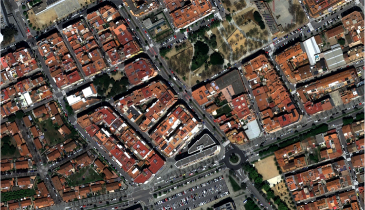
Social monitoring
Collecting data involving people
Use case: Civil litigation office researching a case involving serial squatters occupying a specific property. In this use case, the types of satellite detection are change detection, event detection, object detection, and object clarification to monitor a property. The detection type will identify bodies that move in and out of the building to prove if patrons are occupying the space.
Environmental monitoring
Collecting data involving changes in the environment
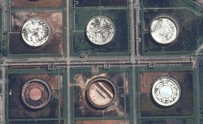
Use case: Monitoring an Oil Pipeline ensures no spills or accidents negatively impact the surrounding area. The types of satellite detection used are change detection, object detection, and object clarification.

Wildlife Monitoring
Collecting data involving animals
Use case: measuring reindeer in a county because of overpopulation. Satellite detection types in this use case are object detection and object clarification to identify the animals and the number of reindeer gathering in a particular region. The county can then use this information to make informed decisions on how to handle the new population before the animals eat too many local crops.
Infrastructure Monitoring
Collecting data involving buildings, bridges, or man-made objects that make up an urban or rural area
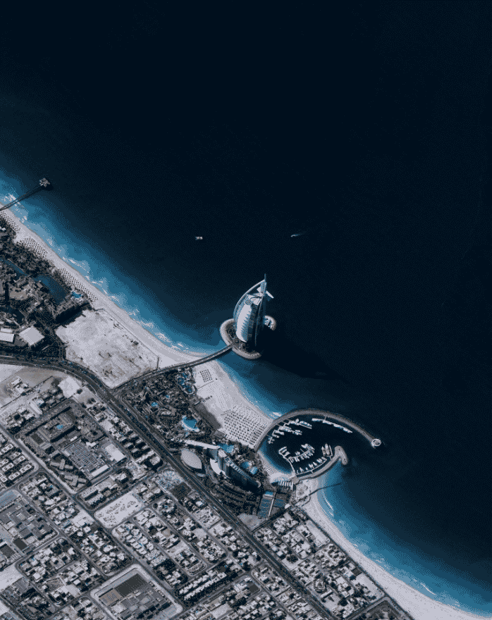
Use case: architects or real estate developers benefit from infrastructure monitoring as it can monitor change detection, object detection, and object clarification. As investors, it can be challenging to visit sites to inspect their physical state. EO data is a way to inspect properties remotely. Moreover, it can measure the fine details needed to monitor the condition of the building and plan the next steps in their projects.
Techniques and GIS Technology
Satellite technologies typically have built-in SAR (Synthetic-aperture radar) sensors that generate their own energy. The energy measures how much it’s reflected after interacting with the Earth. While optical imagery is similar to reading a photograph, SAR data requires a different mindset because the signal is affected by surface properties such as structure or moisture.
These sensors provide low-resolution, day-and-night, and weather-independent images. Radar satellites are particularly well-suited to surveillance of vast lands with limited above-ground distinct features, such as glaciers and deserts. It is also used extensively for areas optical satellites have trouble covering, such as cloud-covered areas or areas shrouded in darkness.
Monitoring techniques can capture data with great detail in a small area. For example, mapping may need a minimum swath width of 100 sq/km, but monitoring only needs up to 5 sq/km to monitor changes, making tasking weekly images far more affordable.
In conclusion, satellite data collection is limitless, so it can accommodate different industries and provide solutions for all kinds of challenges.
Earth observation data is becoming more available, and the shift from mapping to monitoring comes down to timing and details. Of course, mapping is still relevant, but monitoring will take the industry by storm as it can capture live events in real-time.


