When you’re monitoring an unfolding event, coordinating a rapid response, or verifying a construction milestone, “we’ll try to capture it” isn’t an answer. You need certainty: imagery on a specific date, at a specific time, with a firm commitment behind it.
That principle runs through everything we’ve shipped this month. The latest updates to the SkyWatch platform expand the broadest integrated data catalog in the industry, built around a single goal: serving the most time-sensitive, high-resolution applications in both 2D and 3D.0
Here’s what’s new and why it matters for your workflows.
Guaranteed tasking, now from three providers
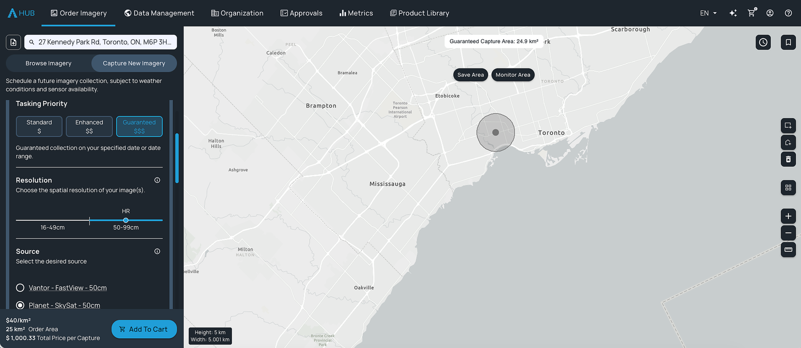
Planet‘s SkySat Assured Tasking is now integrated on the SkyWatch HUB platform. That means imagery collected at a customer-specified date and time, with a firm commitment on acquisition scheduling.
It joins the guaranteed tasking options already available through the platform: Airbus Pléiades Neo OneDay/OneNow Weather and Vantor Fastview. Three guaranteed tasking providers, accessible in a single workflow.
Multi-source stereo 3D for DEMs and change detection
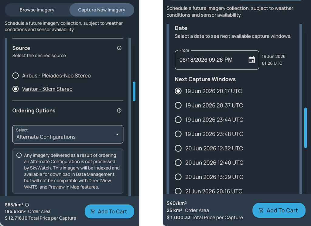
Vantor is now available to HUB customers as a stereo imagery source at 30cm and 50cm resolutions, joining Airbus as a provider of 3D-capable satellite data on the platform. These products are purpose-built for teams that need Digital Elevation Models (DEMs) and a complete picture of vertical structure.
The real advantage here is optionality. Multi-source stereo coverage means greater scheduling flexibility and more resilience for 3D workflows. With two high-resolution stereo providers instead of one, you get competitive choice for DEM generation and change detection,and a fallback when a single provider can’t meet your window.
The deepest multi-source aerial archive on the market
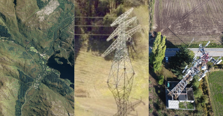
Vexcel ortho products at 7.5cm and 15cm are back on the platform, completing what is now the deepest multi-source aerial archive available anywhere: Eagleview, Nearmap, and Vexcel. All three data sources are available to all SkyWatch customers, and are integrated into Content Store for ArcGIS as well.
The footprint is genuinely global. Vexcel’s programme spans 45+ countries and territories, including the US, UK, Canada, Australia, Germany, France, Japan, and India, with country-wide coverage across more than 20 European nations.
There’s also a new layer of transparency. Results now display Ortho Type, distinguishing between final, quick, DXM, and final ortho processing levels, so you can select exactly the right product for your use case.
Put together, that’s sub-10cm aerial coverage from three independent providers across a truly global footprint. For property intelligence, infrastructure inspection, and high-resolution change analysis, that archive depth is the difference between “we might have it” and “we do”, with processing-level transparency for compliance-grade workflows.

A single pane of glass for your AOIs
Great data is only half the equation. The other half is not having to rebuild your workflow every time you come back to it.
Two new actions in Data Management give SkyWatch HUB customers more flexibility to reuse and monitor the areas of interest they’ve already worked with. No offline storage required.
Order Again
Your AOIs are now stored in the platform. When you need imagery of an area you’ve ordered before, hit Order Again directly from Data Management and you’re back in the ordering flow instantly. No hunting for old shapefiles, no re-drawing boundaries.

Monitor AOI
From any area of interest, click Monitor AOI to activate an automated notification routine. Every time new archive data that matches your requirements becomes available, we send an email with a single click-to-purchase action. No searching, no re-specifying parameters.
The bigger picture: certainty and choice in one workflow
Look across these updates and a pattern emerges:
- Guaranteed tasking gives you certainty on timing.
- Multi-source stereo and a three-provider aerial archive give you choice and resilience.
- New Data Management tools remove the friction of coming back to work you’ve already done.
That’s what your geospatial data platform should do: consolidate the certainty, the choice, and the workflow into one place, so time-critical work doesn’t mean stitching together vendors and offline files.
All of these updates are available now. If any of them map to a project you’re planning, now’s the time to put them to work.