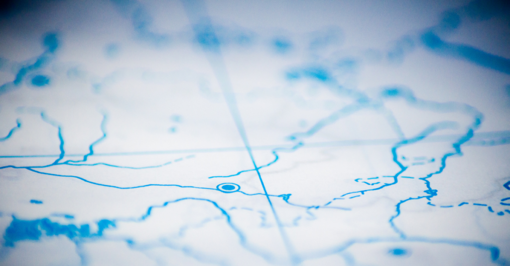
What Data Do You Need

Your First Question When Accessing Satellite Imagery “What data do you need?” is probably the first question you’ll have when logging onto the EarthCache platform. The first thing to look at is resolution. We offer a varying spectrum of resolutions on the EarthCache platform all the way from low to high resolution. Low resolution is […]
Why GIS Specialists Are Shifting From Mapping to Monitoring
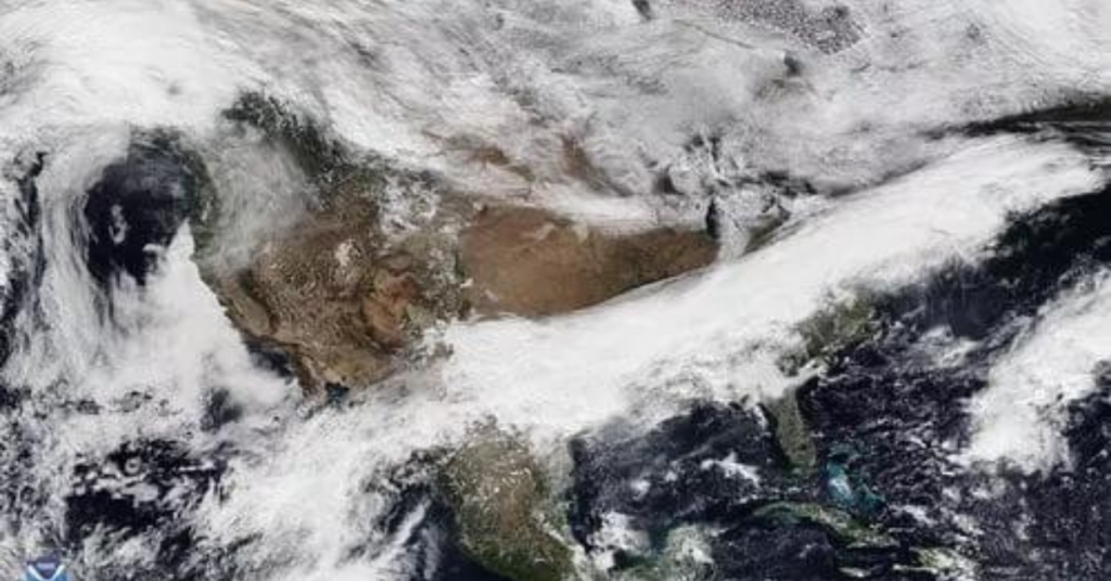
The shift from mapping to monitoring comes down to one thing: how frequently you task satellite imagery. Earth observation data helps solve some of the world’s biggest problems, from predicting crop yields to monitoring oil pipelines. The use cases are nearly limitless — and increasingly, they depend less on building a single map and more […]
How to Choose the Right Satellite Imagery Provider
Choosing the right satellite imagery provider can feel overwhelming, but it really comes down to two things: your goals and the features you need to reach them. Before you start, ask yourself a few critical questions. What type of data do you need? Do you require high-resolution images? Will you collect data over the same […]
Using multiple sensors: What is a Tip and Cue Sensor?

One of the best ways to utilize a multitude of sensors is through a process called Tip and Cue. But what is a Tip and Cue Sensor? Keep reading to learn more.
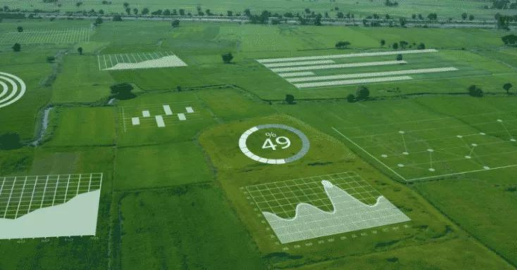
Types of Earth Observation Data

For over 60 years humans have been putting cameras and sensors into space to look back at our planet. Satellites capture data across the electromagnetic spectrum — from visible wavelengths all the way to radio wavelengths. This is called Earth Observation (EO) data. There are many types of Earth Observation data that have many valuable applications across agriculture, environmental, oil, insurance, and financial services industries.
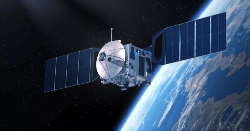
The Story Of SkyWatch – High Resolution Satellite Imagery

Now we deliver High Resolution Satellite Imagery. We Wanted To Open Up Access To Black Holes SkyWatch was actually the original name of a piece of software that our founding team built for astrophysicists.
The Ultimate Satellite Imagery Guide

What data do you need? Deciding that satellite imagery is the right solution for your organization is a great first step to getting insightful data at your fingertips. But if you’re new to these solutions, there are some basics you need to know. We at SkyWatch understand the difficulty of navigating the world of Earth […]
How SkyWatch Handled The First Few Months Of The Pandemic

SkyWatch is an awesome employer in the Waterloo Region who cares about our people’s health and safety, our product, and making sure we are a great place to work at. We wanted To Ensure Our Employees And Partners Were Safe We Wanted To Continue Serving Our Clients 11 Things We Did To Ensure SkyWatch Is […]
SkyWatch: A Platform for All of Earth Observation
Earth Observation (“EO”) is the gathering of information about the physical, chemical, and biological systems of the planet Earth through sensors. In the space industry, we’re investing billions of dollars into launching EO sensors into orbit to better understand our dynamic planet through the ever-insightful electromagnetic spectrum. Our mission at SkyWatch is to enable anybody […]
Top 10 Free Sources of Satellite Data
There are many sources of satellite data you can use depending on your needs. Some platforms will let you view the data in your browser, some offer download options so you can process it and extract meaningful insights. Some focus on open (free) satellite imagery, some focus on the highest resolution satellite imagery available for […]