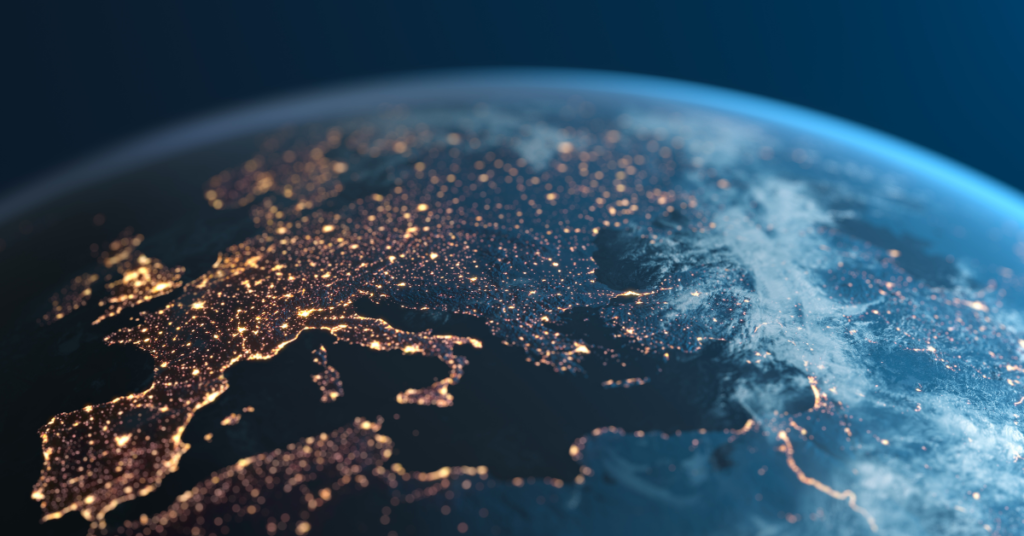
The Ultimate Satellite Imagery Guide
What data do you need? Deciding that satellite imagery is the right solution for your organization is a great first step to getting insightful data at your fingertips. But if you’re new to these solutions, there are some basics you need to know. We at SkyWatch understand the difficulty of navigating the world of Earth […]
The 5 Coolest Uses For Satellite Imagery

A satellite image became available in 1972 when NASA launched the first Landsat mission. The technology has been used for countless commercial, humanitarian, academic, and personal reasons for the past four decades and has over 100 satellites. So we decided to put together a list of the 5 coolest uses for satellite imagery. 5. Developing a […]
5 Ways to Use Satellite Data For Health

Conversations about satellite data are usually geared around a few narrow industries. However, there is much more that can be done with this technology regarding healthcare. For instance, earth-observation imagery can provide insight and information about the wellness of populations on a larger scale. Healthcare entities can benefit from this knowledge and employ proactive strategies […]
Mapping racial diversity with satellite data
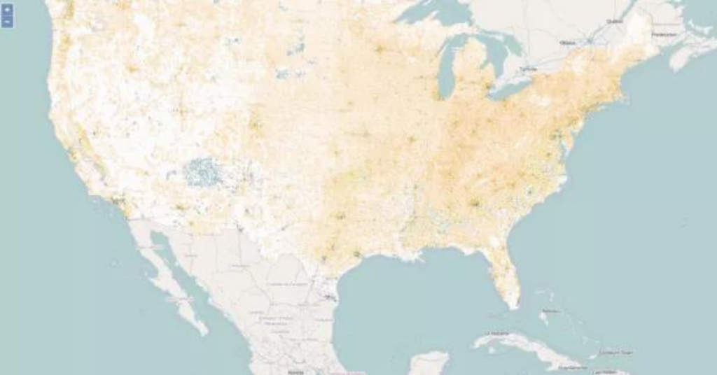
Tomasz Stepinski describes himself as a “physicist, astrophysicist, planetary scientist and mathematician.” Having spent numerous years in Houston making computer models to map out craters and valleys on Mars for NASA, he accepted the distinguished post of Chair of Space Exploration at the University of Cincinnati’s Geography department. Unfortunately, he did not find many admirers […]
Monitoring animal populations from space
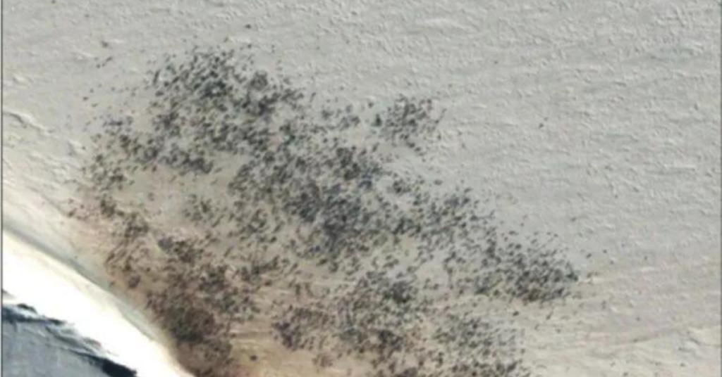
Using high-resolution satellite imagery, Peter Fretwell and his team began monitoring animal populations, creating the world’s first census of species taken from space in 2009. Then went on to repeat it. “We started with penguins, then have gone on to look at whales, then seals – we haven’t published much on seals yet. Now, we are working […]
Monitoring forest fires with satellites
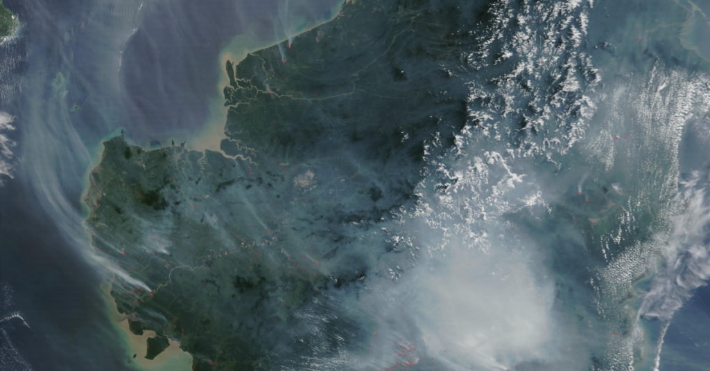
Between November 2015 and April 2016, over 36,000 hectare of forest was burnt in the Republic of Congo. The main commercial activity in the area is the extraction of round wood from areas leased from the national authorities by private companies. These cover an extensive part of forest in the north of the country including […]
What resolution do I need when using satellite data?
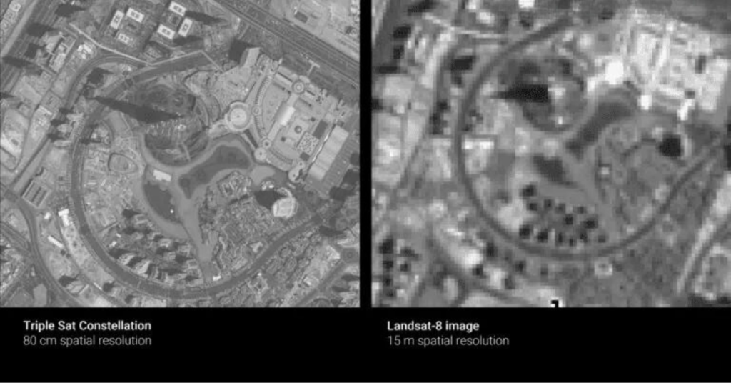
Trick question: it depends on what you are trying to do. What does resolution mean? The resolution of Earth observation data is determined by three factors: spatial resolution, spectral resolution, and temporal resolution. While all three have to be considered when looking at satellite data, most people mean “spatial resolution” when they ask about resolution. […]
Modelling pollutant exposure from space
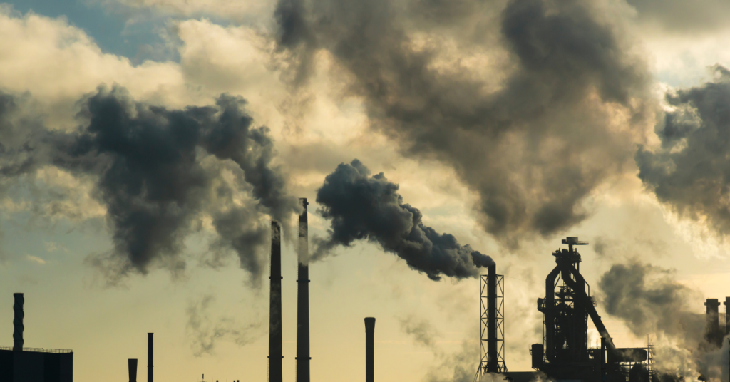
Particulate matter – also referred to as aerosols or air pollution – are microscopic particles present in Earth’s atmosphere. Some occur naturally, during wildfires and volcanic eruptions, and some are the result of human activities, such as car exhausts and powerplants, formed from the chemical reactions of gases such as sulphur dioxide (SO2) and nitrogen […]
Estimating soil moisture from satellite data
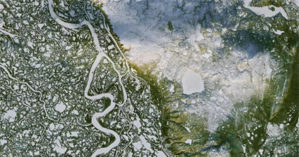
Soil moisture estimates can help farmers assess plant health, aid in predicting crop yields, let governments can help alleviate and protect against floodings, measure urban water use for city planners, and more. While ground sensors are the most accurate tools for tracking water, they are costly and difficult to move quickly. Using satellite sources provides […]
Improving flood forecasting with Earth observation data
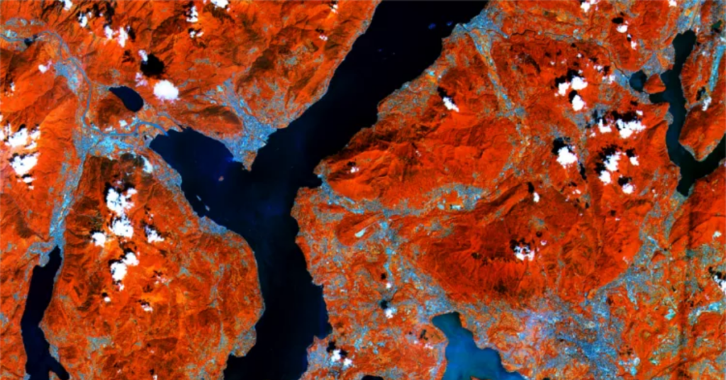
Improving flood forecasting with Earth observation data is not only possible but it’s been done time and time again. Luca Brocca is a Researcher at the Research Institute of Geo-Hydrological Protection (IRPI) of the National Research Council (CNR), a branch of the Italian government dedicated to monitoring and preventing floods, landslides, droughts, and other water-related […]