Remote sensing, a powerful technology that allows us to gather information about the Earth’s surface or other objects from a distance, has revolutionized various fields, from environmental monitoring to urban planning. While it offers numerous advantages, it is crucial to acknowledge there are disadvantages of remote sensing that can feel like drawbacks. In this article, we will delve into the advantages and disadvantages of remote sensing and explore the factors that can impact its effectiveness.

A remote sensing system has six components to gather valuable data. In an era of technological advancements, remote sensing technologies have emerged as invaluable tools for understanding and monitoring the Earth’s surface. These innovative technologies enable us to gather data by sensing the energy emitted, or reflected, by a geographical area. Whether for scientific research,…
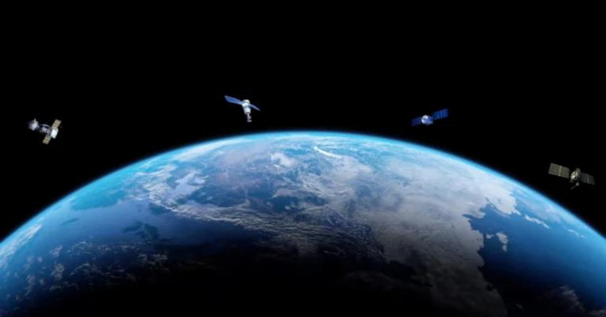
In simple terms, remote sensing is the act of detecting objects in an area and measuring their movements from space.
SkyWatch Space Applications Inc. (SkyWatch) announced today at AWS re:Invent TerraStream Edge, a suite of embedded edge computing software modules for on-orbit satellite computing platforms.

SkyWatch Space Applications Inc. (SkyWatch) announced today its collaboration with Farmdar, an agri-tech company based in Pakistan. Farmdar’s app allows farmers to monitor their land, increase productivity, reduce farming costs, and reduce waste through artificial intelligence (AI) and remote sensing technologies.

Commercial Real Estate Investments Commercial real estate developers are looking at long time horizons. They’re developing buildings that are going to be only in place in a few years, if not decades and hypothetically operational for decades to come. You’re looking at a property to ultimately build something on, and you want to make sure…

Managing Critical Infrastructure In Oil and Gas Oil and Gas is an industry where old practices are used for a long period of time and new technologies can be difficult to be introduced. However, satellite imagery is one of those technologies being introduced into the Oil and Gas industry and changing how operations are being…
