The SkyWatch Blog
Use Cases
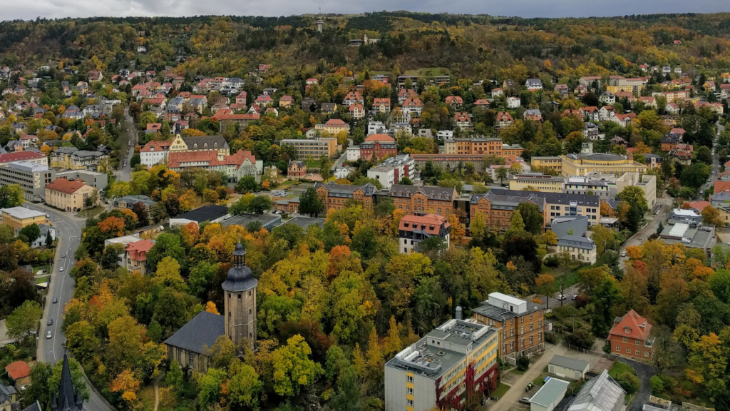
Enhancing News Coverage with Satellite Imagery Analysis
Using satellite imagery is a great competitive advantage for those in the media industry to enhance their news coverage. Earth observation technology provides an excellent method to monitor areas of interest and detect changes in developing stories. Investigative journalists, in particular, benefit from satellite data as consistent monitoring can be a safe and cost-effective way […]
Read MoreChanging the Oil and Gas Industry with Satellite Data
In the oil and gas industry, site monitoring is an essential component of operating effectively and safely. Site monitoring is crucial to safety, compliance, and operational performance; it’s one of the most efficient and effective ways to avoid negative environmental impacts and ensure the safety and well-being of employees and customers. With the advent of […]
Read MoreLocal Governments Use Satellite Data to Protect Assets, Preserve Land, and Respond to Local Emergencies
Satellite data has become an indispensable tool for local governments to safeguard assets, conserve and manage their land resources, and react swiftly and effectively to unforeseen emergencies that may arise within their jurisdictions. With the help of advanced satellite technologies, local authorities can monitor and analyze various environmental factors such as land use, water resources, weather patterns, and natural disasters, enabling them to make informed decisions, take proactive measures, and mitigate potential risks. By leveraging satellite data, local governments can ensure the safety and well-being of their citizens as well as preserve the land they govern.
Read MoreAll Posts


Enhancing News Coverage with Satellite Imagery Analysis

Changing the Oil and Gas Industry with Satellite Data

Explaining the Six Components of a Remote Sensing System

Canada's Contribution to Space: A Look at Canadian Satellites
Five Ways Satellite Imagery Is Transforming The Mining Industry

How To Use Satellite Imagery In A Utility Use Case

Making Earth Observation Data Easy To Distribute And Access
How Satellite Operators Save $60-100m To Monetize Their Data

How Do You Get Data From Satellites To Earth?

Earth Observation Data: Understanding Resolutions
SkyWatch Partners With Pakistan-Based Farmdar

TerraStream Includes All The Partners You Need

How Investors Use Satellite Imagery.

What Data Do You Need

Earth Observation: Saving Lives In Oil And Gas
Why GIS Specialists Are Shifting From Mapping to Monitoring
How to Choose the Right Satellite Imagery Provider
Case Study with BAP Intel: From Hobbyist to Professional Analyst

Using multiple sensors: What is a Tip and Cue Sensor?

Types of Earth Observation Data

The Story Of SkyWatch - High Resolution Satellite Imagery

The Ultimate Satellite Imagery Guide

The 5 Coolest Uses For Satellite Imagery
4 Ways Investors Use Satellite Imagery
Mapping racial diversity with satellite data
Monitoring animal populations from space
Monitoring forest fires with satellites

Modelling pollutant exposure from space
Estimating soil moisture from satellite data
Improving flood forecasting with Earth observation data

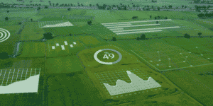
SkyWatch: A Platform for All of Earth Observation
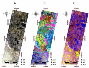
Locating uranium deposits with satellite data
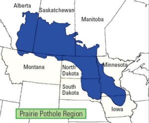
How Government Agencies Use SkyWatch

Counting Seals in Cape Cod With Satellites
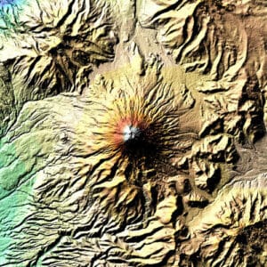
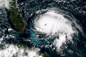
Helping in the aftermath of Hurricane Dorian
Top 10 Free Sources of Satellite Data
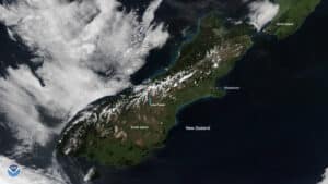
What does real-time satellite data really look like?
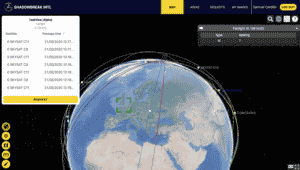
How an Intelligence company uses SkyWatch EarthCache

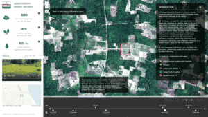
AI in Space
Understanding data transfers
Understanding how Satellite Images are created

Understanding Orbits

How an infrastructure company uses satellite data
How an Artificial Intelligence company uses satellite data
5 Benefits of Using Satellite Imagery Over Drones
Satellite Image Outputs and Their Applications
Why Buying Satellite Imagery Used to Be So Hard
Top Four Coolest Ways Satellite Imagery is Being Used


